Hotels
•04 min read
Rivers are not just lifelines of civilizations; they are also home to fascinating geographical features like riverine islands. These unique landforms hold immense ecological, cultural, and geographical significance, making them a subject of intrigue for travellers and geography enthusiasts alike. This blog post dives into the concept of riverine islands, explaining their formation, types, and characteristics. By the end of this checklist, you will have a comprehensive understanding of what is riverine island, its defining features, and its role in both nature and the broader environment.
A riverine island is a landmass that naturally forms within a river, typically as a result of sediment deposition. In simple terms, if you are wondering what is riverine island, think of a piece of land that floats in the middle of a moving waterway, isolated from the main riverbanks. This river island definition highlights the natural process that gives birth to these intriguing features.
Riverine islands exhibit several distinct geographical and physical traits. Their size and shape may vary with the flow of the river. Notably, these islands often have lush vegetation and fertile soil due to the constant deposit of sediment. Understanding the river island characteristics is essential when exploring the geography of river islands, as these features influence local biodiversity and land use patterns.
The creation of a riverine island is a dynamic process largely driven by depositional activities. When the river flows, it carries sediments like silt, sand, and gravel, which eventually settle and accumulate. Over time, these deposits can emerge above water levels to form an island. This process is central to understanding the formation of riverine islands and the river island formation process that shapes these natural wonders.
Several natural factors play a role in the formation of islands in rivers. The velocity of the river, its slope, and the amount of sediment available directly influence the creation and characteristics of these islands. Gentle slopes and slower water flows tend to favor sediment deposition, leading to the emergence of natural river islands. Additionally, seasonal variations and climatic influences can result in either temporary or permanent island formations.

Riverine islands come in various forms. Some are permanent, having withstood the test of time, while others are temporary, formed during particular seasons when river conditions allow. Understanding the types of river islands helps to appreciate the diversity of these landmasses, which range from densely vegetated islands to more barren ones, all molded by the natural forces of the river.
While riverine islands and deltas may seem similar, they are distinctly different. Deltas form at the mouths of rivers where sediment deposition accumulates over a broad area, often creating a wedge-shaped landform. In contrast, riverine islands form along the course of a river. This comparison helps clear up common misconceptions, ensuring that readers understand the subtle but important differences between these two river-related formations.
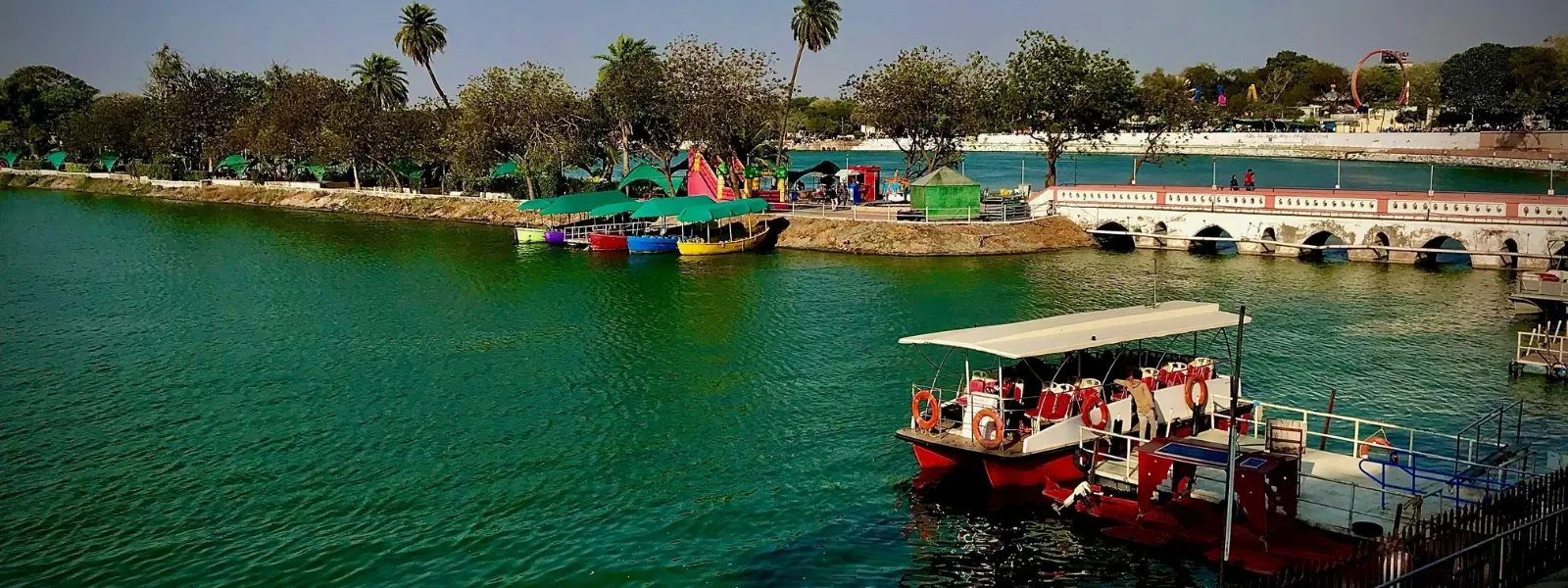
A myriad of river islands dot our planet. Among the most fascinating examples is Majuli in India, which has earned its reputation as a prominent riverine island. Similar features can be seen in other parts of the world, such as Ilha do Bananal in Brazil. These examples of river islands demonstrate both natural beauty and cultural significance, with some even being recognized as the largest riverine island in their respective regions.
India, with its extensive river networks, boasts some remarkable riverine islands. Majuli Island, situated in the Brahmaputra River, is a prime example. Often cited in discussions of riverine island formed by Brahmaputra, Majuli stands out for its unique cultural heritage and environmental importance. Its status as a riverine island in India makes it a treasure for both locals and international tourists alike.
Riverine islands are not only about their physical formation; they are also about the thriving ecosystems they support. These islands often serve as sanctuaries for a variety of flora and fauna. The consistent nutrient-rich soil supports diverse plant life, while the calm waters around the island attract various species of birds and small aquatic creatures. This lush ecosystem is the heartbeat of what we refer to as river island ecosystems.
Beyond their aesthetic and ecological value, riverine islands play a crucial role in environmental management. They help in flood control by absorbing excess water, serve as habitats for wildlife, and contribute to sediment management in river systems. The environmental importance of these islands is evident in their ability to foster biodiversity and support natural water regulation processes.

Did you know? Majuli, located in the Brahmaputra River in India, is the world's largest inhabited riverine island. Its rich biodiversity and cultural heritage make it a global treasure.
A riverine island is a landform created by sediment deposition in the middle of a river, often studied in geography under Class 9 curriculum.
Majuli Island in India, located in the Brahmaputra River, holds the title of the world's largest inhabited riverine island.
Riverine islands are formed through sediment deposition in rivers, especially in areas with gentle slopes and reduced water velocity.
Riverine island geography refers to the study of these islands as part of fluvial processes, including their formation, types, and ecosystems.
A riverine island is a landmass surrounded by water within a river channel, formed due to sediment deposition.
Riverine islands are fascinating geographical features shaped by the dynamic processes of river flow and sediment deposition. From temporary formations to enduring landmasses like Majuli, these islands offer a window into the complex interplay between water and earth. Understanding their formation, distinct types, and diverse ecosystems not only enriches our geographical knowledge but also underscores their importance in environmental balance. Whether you are a curious wanderer or a meticulous planner, exploring the mystery of riverine islands can spark a passion for nature's hidden marvels.
